
Object Location Tracking
Every camera on your property contributes to one live map — detected people and vehicles plotted in real-world coordinates, so movement across your site is one continuous picture.
Twelve cameras, twelve separate screens — and one intruder somewhere between them. Object Location Tracking puts every detected person and vehicle on a single live map of your property.
Object Location Tracking converts what your cameras see into where things actually are. Using each camera's installation information — mounting height, angle, and field of view — it transforms the position of detected people and cars in the image into real-world coordinates, and maps them onto a site plan or map in real time. Movement stops being a sequence of disconnected camera views and becomes one continuous picture of the property.
Coordinates can be delivered as metadata to a VMS or external system, allowing multiple cameras to contribute to a single site-wide view rather than being reviewed one screen at a time. During an incident, that means knowing the subject's actual position on the property — which row, which gate, which building corner — not just which camera saw them last.
What It Does
Who Uses It
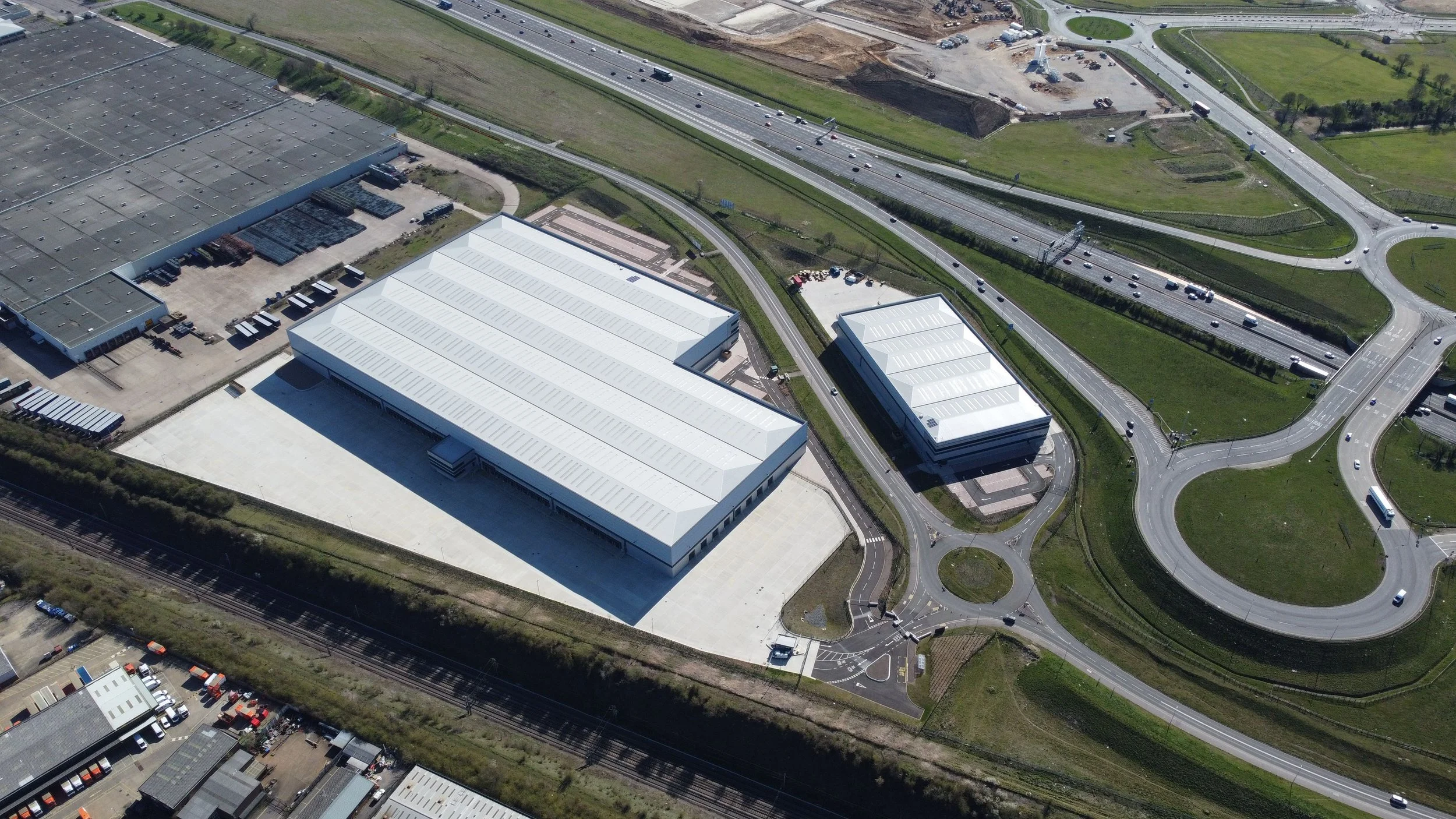
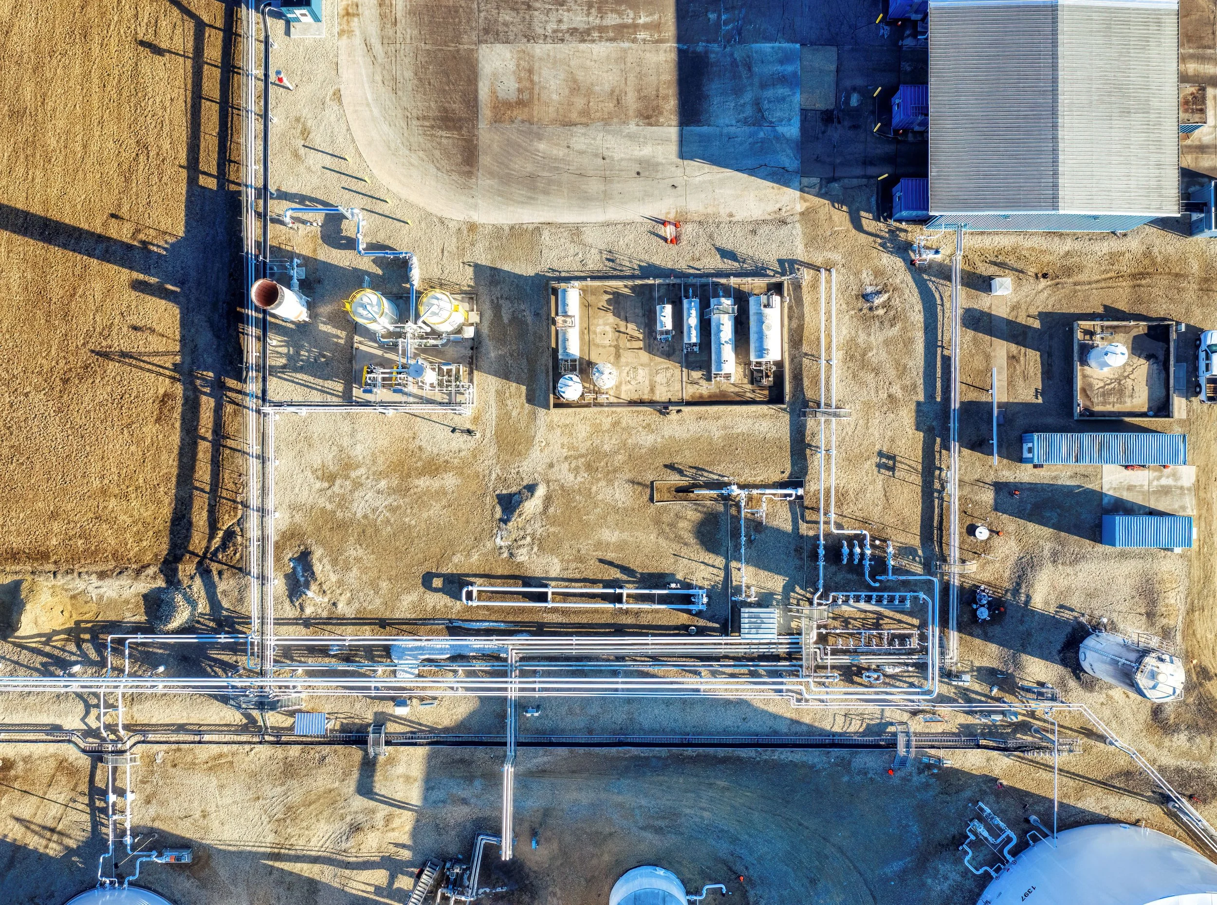
Critical Infrastructure
During a perimeter breach, responders need a position — "northeast corner, moving toward the switchyard" — not a camera number. Real-world coordinates turn detections into directions.
- Perimeter detections map to real-world positions, not just camera views
- Responders arrive with a location, not a camera number to interpret
- Covers full facility grounds, fence lines, and internal access routes
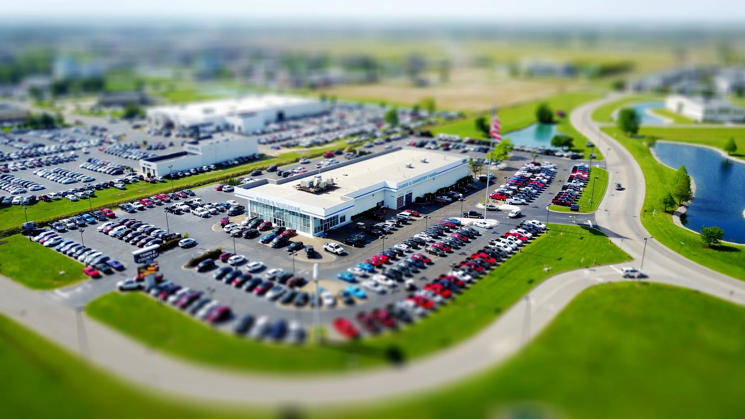
Auto Dealerships
Track a subject's path across the entire lot on one map: which rows they walked, which vehicles they stopped at, and where they are right now as the response unfolds.
- Full lot path tracked on one map — no camera-by-camera reconstruction after the fact
- Live position updates as the subject moves between inventory rows
- Response teams directed to an exact location, not a general area
Central Stations
Site-wide situational awareness on a plan view collapses multi-camera triage: operators follow one moving dot instead of guessing which of twelve feeds to watch next.
- Single map view replaces twelve separate feeds during an active event
- Operators track movement across camera boundaries without losing the thread
- Faster, more confident response decisions with full spatial context in one view

Commercial Property & Campuses
Unify buildings, lots, and walkways into one operational picture — see movement across the property the way a security director thinks about it, spatially.
- Multiple buildings and lots unified into one live site map
- Movement tracked across the full property without camera handoff gaps
- Coordinates feed directly into VMS or existing security platforms

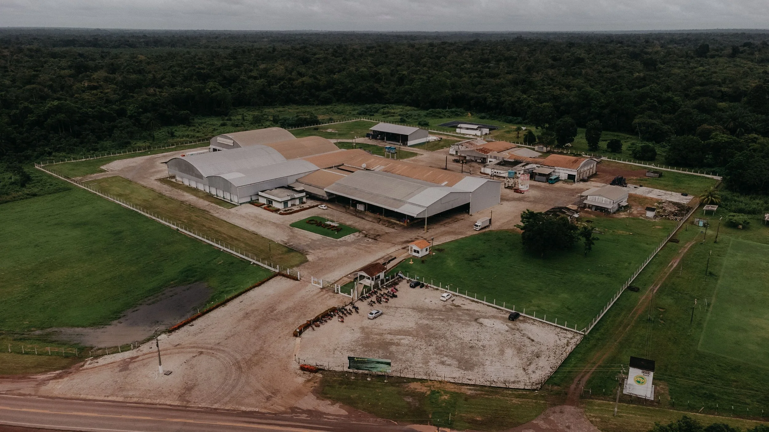
Construction & Storage Yards
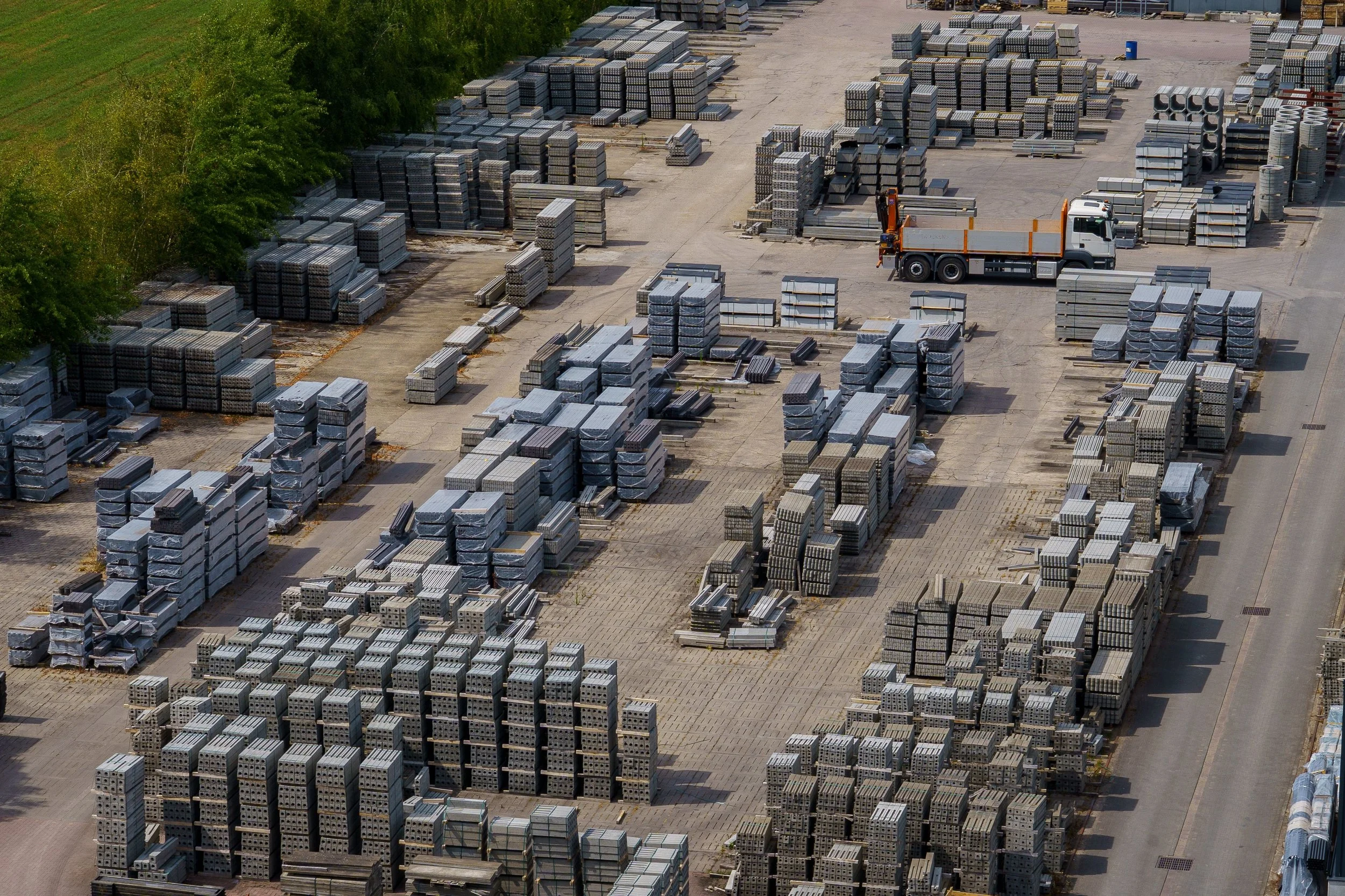
Sprawling sites with repetitive rows make camera-by-camera review hopeless. A mapped track shows exactly where a subject went among the containers, aisles, and stockpiles.
- Mapped track cuts through repetitive rows and identical aisles instantly
- Exact subject path recorded across the full yard — not reconstructed from clips
- Covers container stacks, equipment areas, and perimeter access points
How It Works
Object Location Tracking is a force multiplier for monitored response. When a detection fires, Clear Watch operators see not just the video but the subject's live position on your site plan — following movement across camera boundaries without losing the thread. That spatial picture sharpens every action: voice-downs that name where the subject is standing, and dispatch escalation — including direct digital 911 delivery — with real-time location intelligence responders can act on as they arrive.

FAQs
-
Each camera's installation information — mounting height, angle, and field of view — is used to convert image positions into real-world coordinates. Once calibrated, every detection from that camera lands at its true location on your site plan.
-
Yes — that's the point. Coordinates from multiple cameras feed a single site-wide view, so movement is followed across the property on one map instead of reviewed one screen at a time.
-
Yes. Calculated coordinates can be delivered as metadata to a VMS or external system, so the live map integrates with the tools your security operation already runs.
Know Where They Are, Not Just Which Camera Caught Them
GET STARTED
When a detection fires, Clear Watch operators see the subject's live position on your site plan alongside the video — tracking movement across camera boundaries without losing the thread. Voice-downs name exactly where the subject is standing. Dispatch gets real-time location intelligence before they arrive on scene.